
Hillside ZIP Code Postal Coverage
The documented Hillside postal picture has one clear regular ZIP and four nearby labels that need an address-by-address check. The inspected USPS material positively establishes 07205 as the regular Hillside ZIP. It does not establish 07083, 07111, 07112, or 07208 as standard Hillside mailing ZIPs. Those adjacent labels are included here to prevent a common records error: using a nearby postal city as a substitute for the township boundary.
| ZIP Code | Areas Covered | Post Office | Records Note |
|---|---|---|---|
| 07205 | Preferred postal city Hillside; standard ZIP serving Hillside | Hillside Post Office; Industrial Hillside station | ZIP+4 changes by delivery point; postal boundary is not a legal township boundary |
| 07083 | Adjacent Union and Vauxhall postal geography | Not established as a Hillside postal point | Verify the exact address with USPS before treating it as Hillside |
| 07111 | Adjacent Irvington postal geography near the Essex edge | Not established as a Hillside postal point | Nearby label can create boundary confusion |
| 07112 | Adjacent Newark postal geography near the Essex edge | Not established as a Hillside postal point | Not a verified standard Hillside mailing ZIP |
| 07208 | Elizabeth and North Elizabeth postal geography near Hillside | Not established as a Hillside postal point | Use an exact USPS result, not a town label |
Hillside is a compact Union County township, but ZIP lines can spill quickly into Union, Irvington, Newark, or Elizabeth. The difference between “near Hillside” and “serving Hillside” is important. Only an address result from USPS can normalize a specific delivery point before a Hillside records search or a Hillside request.
Hillside 07205 Postal Stations
The USPS lookup identifies the Hillside Post Office at 1146 Liberty Avenue as 07205-9991. It also lists an Industrial Hillside station at 397 Hillside Avenue as 07205-9992. USPS accepts “Ind Hillside” and “Industrial Hillside” as acceptable city variants in the ZIP directory data. Those are postal naming details, not extra municipal jurisdictions or separate lists of Hillside residents.
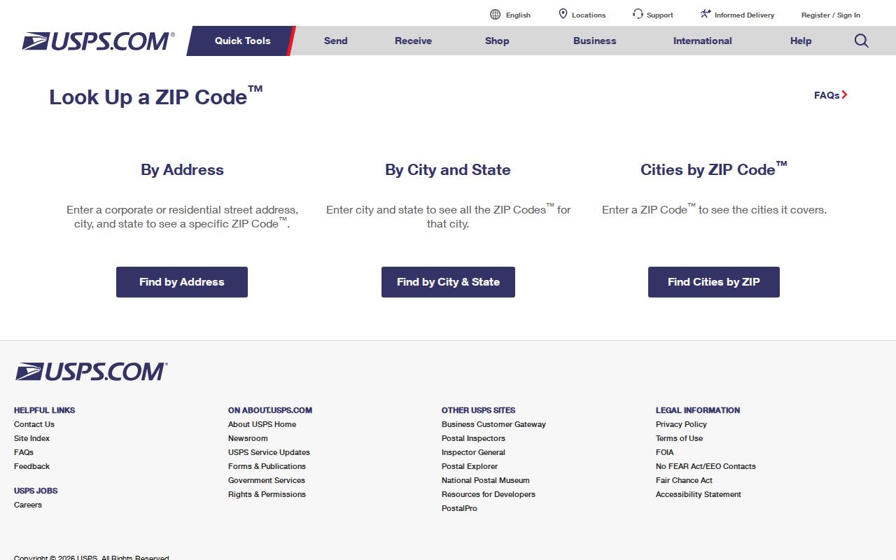
The USPS capture shows the three lookup modes that make a Hillside postal directory useful: by address, by city and state, and cities by ZIP.
This is the local postal quirk worth keeping in a search note. A result carrying 07205 can still need a parcel and township check. Conversely, a nearby city label should never be expanded into an assumption that the address sits in Hillside or falls under Hillside Township records.
Normalize a Hillside Postal Address First
Use USPS to standardize the street address before opening a county or township record. USPS expressly says its result does not prove that a person or company is located at an address. It supplies a deliverable-address and ZIP check, which is exactly the first step needed before translating the address into the Hillside parcel terms used by the assessor and County Clerk.
- Enter the street number and street name in USPS By Address, adding the apartment, suite, or other unit information when it is known.
- Compare the returned spelling, city label, ZIP, and ZIP+4 with the address in hand. If only a city and state are known, use that tab to see ZIPs USPS associates with the label.
- Keep the standardized address as a postal result, not a municipal finding. If a nearby ZIP appears, check the township and county in the next record system.
- Search the New Jersey property system by address, county, municipality, block, or lot. Use the parcel result to anchor the location for Hillside records.
- For a historic address, compare old street spelling, adjacent streets, block and lot, or legal description when a modern delivery format does not appear in the older material.
| Street Address | Required in address mode. Enter the standardized street address and add the unit when applicable. |
|---|---|
| City and State | Required in city/state mode. Use Hillside and NJ to request USPS-associated ZIPs. |
| ZIP | Optional when already known, but useful for testing a supplied postal label against the address result. |
| By City and State | USPS mode for ZIP codes associated with a city and state. |
| Cities by ZIP | USPS mode for preferred and accepted city names attached to a ZIP. |
Note: USPS validates delivery formatting, while the tax assessor, County Clerk, and court custodians each use their own record keys.
Hillside ZIP Code Resident Search Steps
A ZIP is a narrowing tool, not a ZIP-wide resident list. None of the inspected official Hillside routes offered a verified public search that returns every person in a ZIP. Instead, use a confirmed address to reach a parcel, then use the proper custodian for the narrow record question. This approach is slower than a bulk list, but it retains the key data that distinguishes Hillside Township from neighboring postal geography.
After USPS returns the delivery format, search the state property system and record the municipality, block, and lot. The county GIS can then help identify Hillside parcel geometry and adjacent parcels. If the question becomes a street-level record trail, the Hillside by-street directory explains the address, parcel, and deed sequence in more detail. A Hillside voter request belongs with the Union County Board of Elections, and a Hillside deed question belongs with the County Clerk's name and document index.
Hillside Parcel Searches Beyond ZIPs
New Jersey Property Explorer accepts address, county, municipality, block, and lot. The official page did not confirm a direct ZIP filter. That limitation is useful: a ZIP first finds the address, while county, municipality, block, and lot establish the parcel. Results can show location or tax-listed owner, annual land and building assessment, prior-year taxes, and classification. January tax-list timing means a recent transfer can lag.
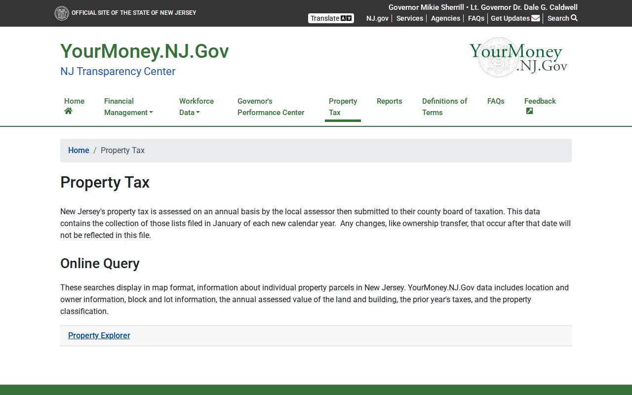
The Property Explorer capture marks the shift from a Hillside postal address to the parcel fields that support an assessor or land-record search.
Hillside's assessor maintains property record cards by block and lot and the township tax map. An assessment is not market value, and a tax-list owner or mailing address does not establish who lives at the situs. For owner-name confirmation, the official research directs users to the local assessor or tax-list records because a Hillside-specific public owner-search form was not located.
Hillside Postal Limits in Other Portals
The Union County GIS viewer can search a Hillside address, display a parcel layer, identify a selected parcel, and browse a Hillside street segment with nearby parcels. A ZIP layer or ZIP-wide filter was not confirmed. Its map is general-reference information, not a legal survey. Use it to capture the municipality, block, lot, situs, geometry, and neighboring parcels, then confirm Hillside ownership or title with the appropriate assessor or Clerk record. NJGIN's hosted parcel data can redact owner names under Daniel's Law, so a blank owner field is not a reason to assume a parcel lacks an owner record.
The New Jersey voter portal is a person and status search with name, date-of-birth, and county matching, not a public ZIP-wide street search. Likewise, the Union County Clerk deed index uses name, date, party type, document type, book and page, or instrument fields. It has no inspected address or ZIP field. These limitations prevent a ZIP from being mistaken for a substitute for an exact person, parcel, or deed identifier.
Hillside Postal and Township Boundaries
A ZIP code boundary and a municipal boundary answer different questions. USPS assigns a delivery address and acceptable city label. Hillside Township, Union County, and New Jersey record systems identify governmental jurisdiction, parcel location, and custodian responsibility. An address can use a Hillside mailing label yet require a neighboring municipality's record office. It can also carry a neighboring postal label while lying near a township line. Confirm the result in both systems before sending a request or treating a record as Hillside-specific.
The caution is especially important around 07083, 07111, 07112, and 07208. They are nearby postal geographies in the research, not verified standard Hillside ZIPs. A searchable address result is the proper way to resolve the question. The available research did not produce a complete USPS city/state result that proves their township coverage, so they should remain verification flags rather than coverage claims.
Hillside ZIP Code Address Terms
Several address terms appear in a Hillside postal search, but they belong to different systems. Keeping them separate prevents a postal result from being used as a deed conclusion or a tax mailing address from being presented as a parcel location.
- ZIP and ZIP+4
- The five-digit postal delivery area and the added four digits that refine delivery to a smaller segment, building, or group of addresses.
- PO-box ZIP
- A ZIP assigned to post-office boxes rather than a broad street-delivery area. No Hillside PO-box-only ZIP was established in the inspected research.
- Unique ZIP
- A ZIP associated with one organization or delivery point. No Hillside unique ZIP was established in the inspected research.
- Carrier route
- A postal delivery grouping used to sort mail. It is not a municipal district or a resident roll.
- Situs and legal description
- The mapped parcel location and the deed-defined land description. They are the keys for tax and title work after postal normalization.
Hillside Postal Geography in a Compact Township
Hillside had 22,456 people in the 2020 Census across 2.77 square miles, a compact setting where a parcel-by-parcel method is practical after the correct address is known. That same compactness explains why a ZIP can cross quickly into another postal city or municipal context. Treat the postal directory as a starting point, then retain the block, lot, and township returned by the record system.
For important mail, records requests, or parcel research, save the USPS result date and the source used for the next step. New Jersey's parcel service also notes continuing updates and Daniel's Law owner-name redactions, so an incomplete map result is a reason to ask the local assessor or County Clerk for the official record, not to guess at the missing field.