
Hillside Block Record Routes
Public records answer different questions about a Hillside block. The Union County map is the starting point for parcel geometry and street context. The tax roll and Hillside assessor records connect a parcel to an assessed owner and block-and-lot identity. The Union County Clerk can then confirm a recorded transfer when the parcel details and legal description match. Election records and community groups have much narrower roles. They may identify a jurisdiction or public meeting, but neither makes a block roster. Start with the source that matches the question, and keep ownership separate from who may live at an address.
| Block source | What it can show | Access route |
|---|---|---|
| Union County GIS | Mapped streets, nearby parcel geometry, block and lot, plus selected layers | Free viewer, general-reference map and not a legal survey |
| New Jersey Property Explorer | Address, county, municipality, block, lot, assessment and tax-list context | Free public lookup; statewide datasets can redact owner names |
| Hillside Tax Assessor | Property cards, tax maps, assessed-owner and parcel details | Local office or tax-list confirmation |
| Union County Clerk | Recorded parties, documents, dates, instruments and deed-chain clues | Online index from June 1, 1977; record room for transactions from 1857 |
| Union County Board of Elections | Lawful election-document and voter-list fields, subject to limits | Custodian request, redactions and protected-voter rules apply |
| Hillside Neighborhood Association | Public board contacts, minutes, calendar and community communication | Public organization pages, not a household directory |
An assessed owner can be an individual, trust, company, heir, or an owner who receives tax mail elsewhere. A deed party can also be a prior owner. Neither record proves that every person at the parcel is a current neighbor. Unlisted occupants, guests, children, unregistered residents, utility customers, and private group members are not a public block directory. That distinction is especially important in dense Hillside Township, where a short map view can include many nearby parcels without revealing who occupies each one.
Browse Hillside Neighbor Parcels in GIS
The Union County GIS viewer opens with a general-reference disclaimer. Search the Hillside street address, use the parcel layer, and click the target parcel before widening the view by one block. The identify tool can expose parcel attributes, while map layers add zoning, flood, and district context. Zoom and measure tools help orient the search, but their boundaries and distances are not title evidence or a survey determination.
- Parcel
- A mapped unit of land used for tax and land-record work.
- Situs address
- The address of the property itself, rather than the place tax mail is sent.
- Block and lot
- New Jersey parcel identifiers that help match a map result to assessor and deed records.
- Adjacent parcel
- A parcel shown near or sharing a boundary with another parcel, not proof of a social relationship or common ownership.
Record the municipality, block, lot or parcel identifier, situs, and the parcels visible around the target. Do not assume lots follow the street number sequence. If the map shows a blank owner field, keep the parcel identifiers and use the Hillside assessor or Clerk route instead of treating the blank as proof that an owner is unknown.
Note: GIS layers give useful location context, but the County treats them as general reference rather than a legal boundary or title determination.
Check Hillside Neighbor Parcel Records
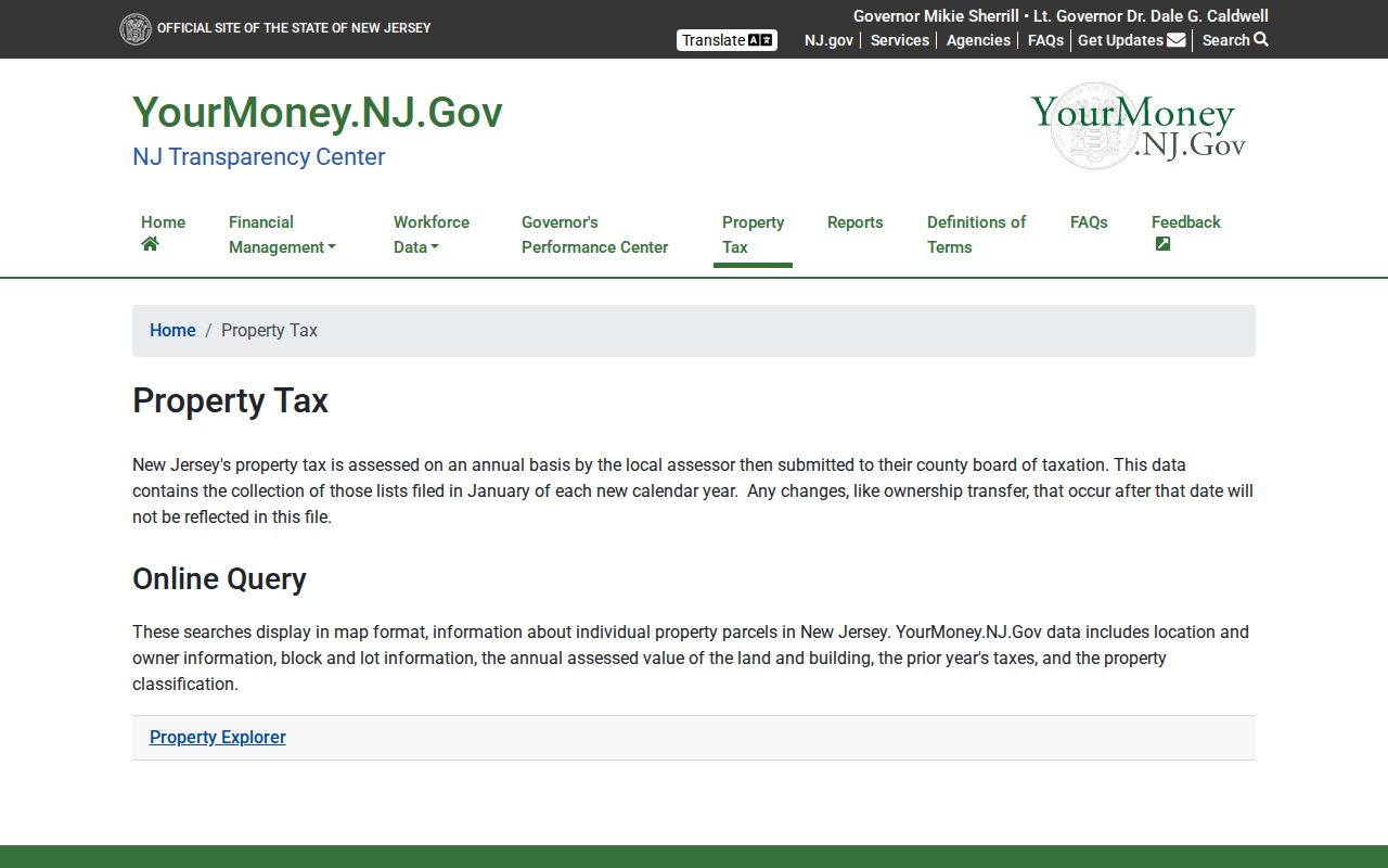
The official New Jersey Property Explorer supports address, county, municipality, block, and lot searches. Choose Union County and Hillside Township after normalizing the street address. The State describes the result as tax-list data that may include location, owner, block and lot, land and building assessments, prior-year taxes, and classification. Because tax lists are annual snapshots, a recent transfer can lag.
Property Explorer’s official entry page shows Hillside’s search path through address and parcel fields.
Use the returned parcel identifiers to confirm the surrounding block record, not as a claim about every resident at that location.
The Hillside Tax Assessor maintains property record cards by block and lot, the township tax map, added assessments connected to building permits, and deduction or exemption applications. A verified Hillside-specific public owner-name form was not located. For owner or mailing-address confirmation, contact the assessor or use local tax-list records after the parcel is identified. A mailing address may belong to an off-site owner and must not be presented as a residence address.
Map a Hillside Block, Parcel by Parcel
Use a short, repeatable process for the immediate parcels around an address. It keeps the search focused on mapped land records and avoids turning a neighborhood question into a list of assumptions.
- Standardize the target address, then search it in Union County GIS and identify the target parcel.
- Write down its Hillside Township block and lot, situs address, and any visible parcel identifier before moving the map out one block.
- Click the parcels immediately around it and record only their geometry, block and lot, and display status. Map proximity does not prove common ownership or a personal connection.
- Run each confirmed parcel through Property Explorer and the assessor route. Separate a property situs from any tax mailing address.
- When a recorded ownership question remains, use the Union County Clerk land-record index with the matched owner name, date range, party type, and document type. Match the deed legal description and lot or block before relying on a name.
The Clerk’s inspected name search is not a street browser. It offers exact, starts-with, and Soundex surname modes, and the online index begins June 1, 1977. Records before that cutoff, or documents without a published image, require the record room or archival channels. For a full named-street record chain rather than this immediate-block process, use the Hillside by-street directory.
Hillside Voter Records Near a Block
New Jersey’s Am I Registered? service is a person-centered registration-status tool. It relies on the county-provided spelling of a first and last name and uses date of birth for an identity match. A hyphen, space, marriage-name change, middle initial, or nickname can cause a non-match. The simple web search is not a map-based way to browse a Hillside block, and it should not be described as a full address or affiliation history.
For an election document or a lawfully available voter list, route a precise request to the Union County Board of Elections, 271 North Broad Street, Elizabeth, NJ 07208, 908-527-4123. Name the municipality, ward or district, record type, date range, desired format, and delivery method. The Board of Elections and applicable election rules determine what is available. Protected addresses, identification data, signatures, and marked-ballot choices are not public neighborhood fields.
Note: A registration record can help confirm election status or jurisdiction, but it is not proof that someone is physically at an address today.
Hillside Neighborhood Contacts and Meetings
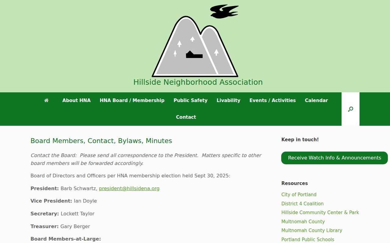
Community sources are useful when the goal is public participation rather than a private roster. The Hillside Neighborhood Association is an inclusive public-benefit nonprofit sponsored by the District 4 Coalition. Its board material lists public contacts, bylaws, board and member-meeting minutes, committee representation, and a calendar that can be filtered for Hillside events and neighborhoods. It does not publish member households or addresses.
The Hillside Neighborhood Association board page is the source for its public officers, contact route, and District 4 Coalition representation.
Public board information can help a Hillside community search move toward an open meeting or civic contact without implying access to a private member list.
| Community contact | Public route | Appropriate use |
|---|---|---|
| Hillside Neighborhood Association | Board page, president@hillsidena.org, minutes and calendar | Public events, board communication, and neighborhood participation |
| Hillside Township Council | Council ward and member page, public agendas and minutes | Ward geography and public civic matters, not a household list |
| Hillside Public Library | Library catalog and Ask a Librarian | Historical notices, local directories, and public research help |
Churches, schools, and civic organizations can supply historical context through public notices or archives. They should not be treated as a source for living household contacts. When seeking a public meeting, use the organization’s own published contact path rather than attempting to reconstruct a membership list.
Official Hillside Neighbor Records Compared
Official records have known custodians, a stated function, and correction routes. Commercial neighbor-search products are a category of services that combine parcel, marketing, and public-record data. Their associations can be old, duplicated, or drawn from a source whose date and scope are unclear. They cannot reveal people omitted from public records, protected addresses, or private household members. Start with the official record that matches the question and confirm it with its custodian.
| Category | Strength | Limit to keep in mind |
|---|---|---|
| Official GIS, assessor, Clerk, and Board of Elections routes | Custodian, record purpose, parcel or request identifiers, and a way to seek correction | Each source is narrow and can be redacted, delayed, or limited by law |
| Commercial neighbor-search category | May offer a quick lead from compiled data | Can be stale or mismatched and has no authority over official records or protected information |
A property record is strongest for a recorded or assessed land interest. A map is strongest for locating a parcel. A public community page is strongest for finding an announced meeting. None of those sources proves a complete picture of a block, so a result should be checked before any personal decision or contact.
Why Hillside Neighbor Results May Be Blank
A blank result can be a privacy protection, not a research failure. The statewide parcel service reports owner-name redaction in hosted parcels and downloadable data under Daniel’s Law. The New Jersey Address Confidentiality Program can provide a legal substitute address and mail-forwarding protection for eligible participants. Court rules, vital-record law, and other statutory exemptions can also limit what a public search displays.
When a map result is thin, preserve the Hillside block and lot, then ask the correct custodian what public record is available. Do not try to bridge a protected address with a tax mailing address, a private roster, or a guessed household connection. The 2026 State parcel-service updates also mean map layers and display choices can change, while the assessor and County Clerk remain the relevant property custodians.
Note: No official Hillside-wide HOA directory or complete neighborhood-association inventory was located, so no private or unverified roster should be inferred.
Hillside Neighbor Lookup Privacy Limits
New Jersey Open Public Records Act requests, N.J.S.A. 47:1A-1 et seq., must identify the record and its custodian. OPRA does not require an agency to create a new neighbor list or override vital-record restrictions, sealed court material, Daniel’s Law, ACP, or other protected-person rules. Motor-vehicle addresses, utility customers, delivery records, and private membership information are not public block-search tools. If a record seems wrong, ask the assessor, Clerk, Board of Elections, court, or registrar for that record’s correction process.
Lawful use. Hillside neighbor research is for personal, civic, property, and historical questions. Never use a record trail to watch, threaten, intimidate, stalk, or harass anyone. New Jersey’s stalking law, N.J.S.A. 2C:12-10, makes purposeful or knowing conduct that causes reasonable fear a crime.
If an unsolicited message demands payment for a deed copy or claims to be a government office, type the official NJ.gov, ucnj.org, or hillsidenj.us address yourself before responding. The Union County Sheriff warns that it will not demand payment by phone, gift card, wire, or cryptocurrency.